Possible Snowflakes as Kansas City Area Braces for Freezing Cold Temperatures
Ucreview – According to the National Weather Service in Kansas City, showers and thunderstorms persisted throughout Thursday in the Kansas City region. However, as the day progresses, the likelihood of rainfall is anticipated to decrease.
According to the weather service, the possibility of rain is expected to be at its highest through the morning, with chances ranging from 60 to 70%.
The Kansas City metro area is likely to experience a decrease in rain chances up to 20-30% by noon. Despite this, the afternoon will remain warm and unseasonable with temperatures scaling up to the mid-70s. It’s noteworthy that typical temperatures for this time of year in Kansas City usually stay in the low 60s.
The weather service has predicted the arrival of a robust cold front in the region on Thursday night and Friday morning, which may result in the occurrence of another series of storms. The Kansas City area is expected to experience a 40 to 60% chance of rainfall during the morning and afternoon.
In the afternoon and evening hours, the conditions are expected to become drier. There is a possibility of additional rainfall of up to .25 inches through Friday, which is expected to be a trace amount.
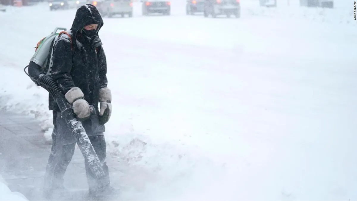
As we move ahead, brace yourself for a blast of cold air that’s set to arrive with the front. The mercury is expected to take a dip on Friday, with the temperature hovering in the mid-50s during the day and plummeting into the 30s overnight.
The weather service predicts that the area will experience another round of storms on Saturday, which could result in cold rain as temperatures are expected to remain in the 40s. The highest probability of rain, ranging from 70% to 100%, is anticipated on Saturday night through Sunday morning.
There’s a chance for more rain, with around .25 to .50 inches possible. As we head into the night on Saturday, temperatures will drop to around freezing.
Northwest Missouri and northeast Kansas are likely to experience a mixture of rain and snow, with a 40 to 50% chance of precipitation due to the cold weather.
According to the forecast discussion by the weather service, there may be a chance of minor accumulations despite the expected lack of moisture as temperatures drop.
Next week will see the continuation of frigid weather conditions, with the coldest temperatures forecasted for Sunday through Wednesday. The Kansas City area is expected to experience a harsh freeze, effectively concluding the current growing season.
Kansas City is expected to experience mid-30s temperatures on Sunday, with low to mid-40s temperatures from Monday through Thursday.
If you’re planning on celebrating Halloween outside, it’s important to dress warmly in order to stay comfortable. According to forecasts, temperatures are expected to be just above freezing between 6 and 9 p.m. on Tuesday. So, make sure your costume can keep you warm while you’re out trick-or-treating.
Read More:
- Police Search For Suspect In Long Beach Shooting That Resulted In Fatalities
- Upstate Asylum Where 1,700 People Died Is Considered The Creepiest Spot In New York And Is Said To Be Haunted