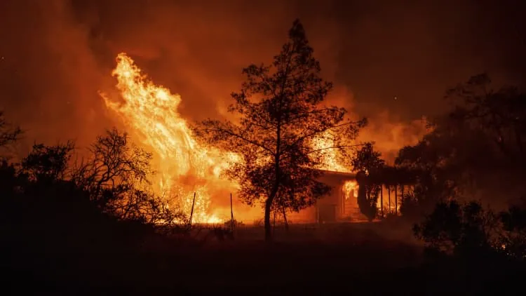
Northern California faces a dry week ahead with a potentially stormy pattern on the horizon
Following a cold weekend, Northern California is scheduled to warm up.
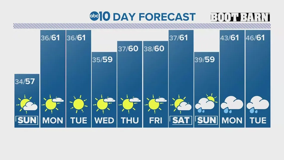
Temperatures in many valley sites fell below freezing on Saturday and Sunday, with highs barely reaching the mid to upper 50s.
Northern Californians may expect above-average temperatures and dry weather with high pressure in place this week.
Even though the Sierra received half a foot to a foot and a half of new snow last week, the snowpack remains significantly lower than typical. The statewide average is 37%, whereas at this period last year, it was 162% of normal.
The valley’s maximum temperatures will be in the low 60s to just around 60 all week, with little variation from day to day.
Mornings will be cool, with highs in the mid 30s and lower 40s forecast everyday, but temperatures will not drop below freezing.
Expect primarily sunny skies for the first half of the week before some cloud cover sets in later in the week.
The models are indicating that a wetter trend will develop near the end of the long prediction. By early next week, a low pressure system is likely to form off the coast of California, bringing rain and snow to the region.
The Climate Prediction Center agrees, predicting above-average rainfall for California next week. It also promotes considerably warmer-than-average temperatures across nearly the entire United States, including California.
Anything may happen with this far out, but it is an encouraging indication for a state that has struggled to receive considerable precipitation this wet season.
Read More:
- High-Speed Rail Connecting Vegas and LA Moves Forward as Funding Gets Approved
- California’s $68 billion deficit: Newsom’s Disaster?