
Rain and snow have finally arrived in areas of California, with several inches expected to fall over the next week
The National Weather Service has issued a weather update for Northern California, stating that rain showers and light mountain snow have started this afternoon and are expected to continue through tonight and into tomorrow morning.
Tomorrow evening, there will be a brief break in the rain before the next weather system arrives on Friday into Saturday. This will bring widespread rain and mountain snow. However, by late in the weekend, the weather is expected to calm down again.
Radar analysis indicates that there are currently widespread light showers moving across the northern and central Sacramento Valley. This line of showers is expected to continue its northeast trajectory throughout the day. As we move into the afternoon and evening, there is a possibility of further showers, light mountain snow, and even thunderstorms in the Valley and Foothills.
The weather pattern in the area is due to upper-level troughing caused by an upper low off the coast of British Columbia. This system is swiftly progressing through the region. Rainfall amounts in the Valley are expected to be minimal, with a 20-95% chance of exceeding 0.50 inches, mainly in the northern areas along HWY-50. However, higher elevations in the northern Sierra and Coastal Range may experience heavier rainfall, with amounts predicted to be 1.00 inch or more.
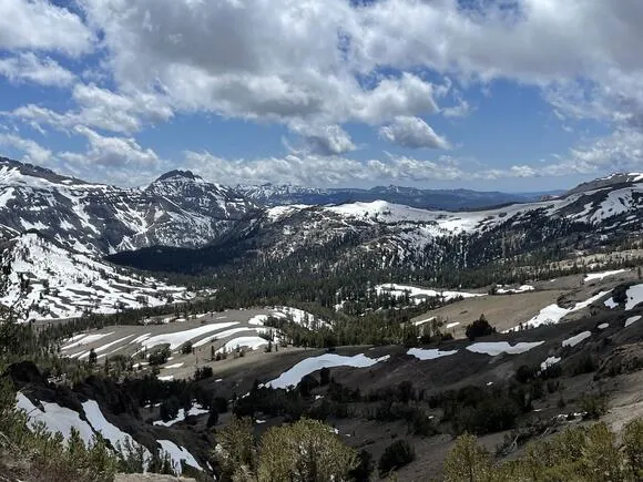
Light mountain snow is expected to accompany this fast-moving system, with forecasted accumulations of 1-2 inches at pass levels.
The snow levels are expected to range between 6,500-7,500 feet. We might see gusty southerly winds developing, as reports have already indicated 25 mph gusts in the Valley near Yuba City and even higher gusts of 40 mph or more in the Sierra. There is also a 15-20% chance of thunderstorms in some areas later today and this evening.
A brief period of warmer southerly flow is anticipated as the system exits the area on Thursday afternoon. This will result in a slight uptick in high temperatures on both Thursday and Friday.
Attention is now turning to the upcoming weather system expected to arrive on Friday. Recent forecasts indicate that this system is becoming wetter as it tracks further south. There is a 30-90% chance of rainfall in the Valley and Delta areas, with the possibility of receiving over an inch of precipitation.
The snow levels for the upcoming system are expected to begin at approximately 7,000 feet on Friday and then drop to around 6,000 feet on Saturday morning.
Travelers should exercise caution while in the Sierra region, as there is a potential for hazardous travel conditions to arise. These conditions are expected to occur from Friday evening until Saturday afternoon, with snowfall amounts ranging between 4 to 8 inches near pass levels.
The weather forecast for the upcoming days and early next week indicates calm and typical conditions. However, there is a chance of a system arriving in the middle of next week, which could bring additional rain and snow to the area.
Read More:
- End of an Era: Major Washington Online Retailer Suspends Operations, Lays Off Employees
- Two ‘Kia Boys’ have been charged in Washington state courts with violent robberies and vehicle thefts